How can Geospatial Technologies and International Policies help disaster management?
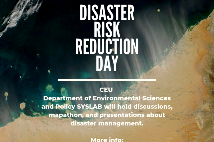
On 14 of October, SYSLAB of the CEU’s Department of Environmental Sciences and Policy will organize the Disaster Risk Reduction Day to increase risk-awareness and present how Geographic Information Systems and International Policies can help manage disasters. To mark this day, we will be organizing discussions, presentations, and a Missing Maps Mapathon.
Missing Maps is a project which is focusing on supporting the Humanitarian OpenStreetMap Team (HOT). Mapathons are globally coordinated mapping events open to the public to make online map improvements or work on missing maps to help map the world's most vulnerable communities affected by natural disasters, epidemics, and other crises.
The best part about mapathons is that anyone can join, no mapping background is needed!
Sounds interesting?
Click here to check the tentative agenda, and most importantly - don’t forget to register here.
Looking forward to seeing you on October 14!