Department of Environmental Sciences and Policy and GeoHub project invite you to a workshop by
SARA PRUCKNER
Data Scientist, Digital Transformation Programme (UNEP-WCMC)
The UN Environment Programme World Conservation Monitoring Centre (UNEP-WCMC) bridges the gap between science and policy, by providing data and indicators that can be used for national decision-making, as well as for multilateral environmental agreements, such as the Convention on Biological Diversity. The Ocean+ and Protected Planet initiatives are two flagship projects collecting authoritative global data on marine biodiversity and protected areas, respectively, and host data that is officially used to measure progress towards the Sustainable Development Goals and Post-2020 Biodiversity targets.
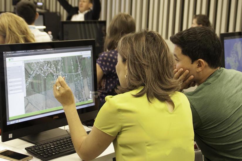
This session will introduce these initiatives, and include a practical exercise to explore the usage of the data tools. Attending students who wish to participate in the practical exercise should have some familiarity with GIS.
Please register here to indicate your interest in the workshop, as the places are limited. Both in-person and online participation is possible.
Sara Pruckner leads UNEP-WCMC’s Ocean+ initiative, using her technical skillset to gather, analyse and disseminate marine biodiversity data in new ways. She is also carrying out spatial and non-spatial data analyses for a variety of other projects, such as the Protected Planet Initiative, the AFRIMED project, and the Oil for Development project, all focussing on the restoration, conservation, and sustainable management of ecosystems.
Before joining UNEP-WCMC, Sara worked for the European Environment Agency on using Copernicus data for landscape degradation indicators. She has a Master in Environmental Science, Policy and Management (MESPOM) from Central European University.
GeoHub is an open platform project developing the capacity of OSUN members for using the latest geospatial methods and technologies in their core research and teaching disciplines. GeoHub offers students and researchers online and onsite geospatial courses, training workshops, internships, and professional certificate programs, focusing on practical, real-world challenges and potential solutions in academic research and public service.