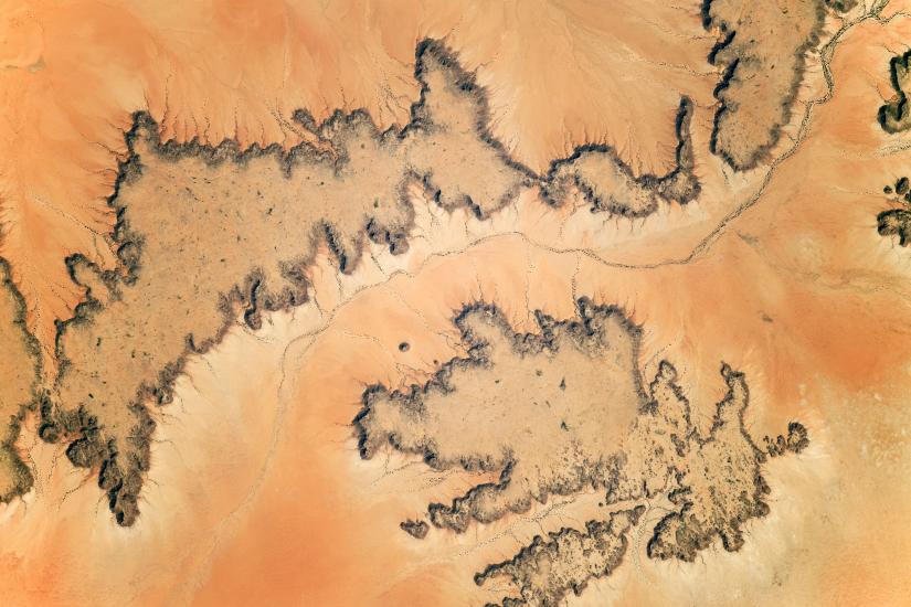
OSUN's GeoHub is organizing a short introductory session on the diversity of applications of satellite imagery and remote sensing techniques for environmental monitoring. Earth Observation data can provide an unbiased, uninterrupted, and borderless view of human activities and natural processes.
GeoHub invited Gulnaz Iskakova, national project coordinator at FAO, to present some examples of the application of satellite imagery for agricultural and resource assessments, Carolina Starr, agricultural officer at FAO, to discuss activities of her team that involves GIS applications, and Elizaveta Khazieva, GIS expert and PhD researcher at Vrije Universiteit Amsterdam, to introduce basics of the Google Earth Engine.
Elizaveta Khazieva has over 10 years of experience in remote sensing and GIS technologies applications in a variety of sectors such as oil and gas industry, government and private organizations. She was the head of the GIS and data analytic unit at the Department of Informational Technologies of the Moscow City Government and worked as a project manager at the Russian Federal Cartography Agency, where she was solely responsible for the development and implementation of the Agency’s Geographic Information System for spatial data management and business workflow. Elizaveta graduated from Central European University in 2016. Before joining CEU she worked at Hexagon Geospatial, a leading global provider of information technologies, focusing on remote sensing data analysis for land cover changes and agricultural monitoring. Her research interests are focused on remote sensing and GIS technologies application for a wide range of environmental issues such as land cover changes and agricultural monitoring.