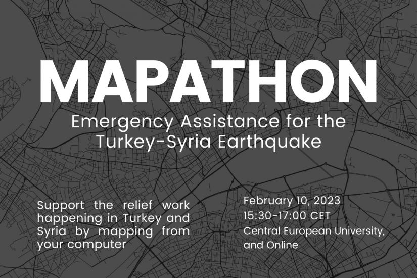
Join the Mapathon to support earthquake response activities and relief efforts in Turkey and Syria and make a difference!
A magnitude-7.8 earthquake hit south-eastern Turkey and parts of Syria in the early hours of the morning of 6 February, causing widespread devastation, with an estimated 20,000 fatalities and many more injured.
Up-to-date maps are important for the success of many humanitarian initiatives around the world in responding to disasters. A Mapathon is a great opportunity for volunteers to digitally connect and create urgently needed data for communities around the world so that local and international decision-makers can use these maps and data to better respond to crises affecting these areas.
You can be part of these critical response and recovery efforts by joining the Mapathon this Friday organized by Syslab’s GeoHub project together with the Human RightS Initiative (HRSI).
No prior mapping experience is necessary to participate, but you will need to have access to a computer (tablets/phones will not work)!
During the event, you will receive a brief training on how to work with the Humanitarian OpenStreetMap Team (HOT) platform and then take part in a practical mapping session to contribute to the relief efforts in Turkey and Syria.
Your contribution can really help, we hope to see you there.
Interested in participating? Sign up through this registration form and the event details will be shared with you.
Be a part of a global community of volunteers making an impact and supporting humanitarian efforts!
A Mapathon is a coordinated mapping event and a kind of editathon where the public is invited to make online map improvements in their local or international area to improve coverage and support disaster risk assessment and resource management activities. A Mapathon is a great opportunity for volunteers to digitally connect and map the most vulnerable or already affected places so that local and international Non-Governmental Organizations can use these maps and data to better respond to crises. Mapathons use an online site for storing map data, such as OpenStreetMap (OSM) or Google Maps. Through capacity-building workshops, mapathons create a community of global volunteers who want to make an impact and help national and international humanitarian works.