OSUN's GeoHub project is inviting you to join a talk by Lorant Czaran, Scientific Affairs Officer at the United Nations Office for Outer Space Affairs (UNOOSA), who will explore the application of Earth observation data and geospatial technologies for monitoring Global Agendas.
The talk will introduce the UNOOSA in the context of the United Nations, mention relevant treaties related to space utilization, and discuss some of the mandates of the Office, including the UN-SPIDER (United Nations Platform for Space-based Information for Disaster Management and Emergency Response). Mr. Czaran will address the current focus on the Sustainable Development Goals (SDGs) and assess how some of those goals and related indicators are monitored and supported by space technologies.
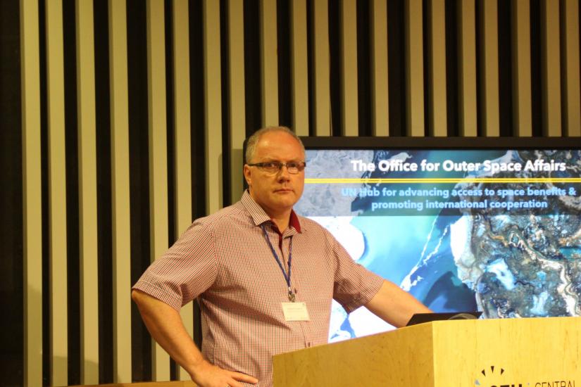
Lorant Czaran is currently Chief of the U.N. Platform for Space-based Information for Disaster Management and Emergency Response (UN-SPIDER) Vienna Branch at UNOOSA, leading efforts for space technology support to countries in disaster situations.
Starting 1996, he has worked at UNEP/GRID-Arendal in Norway, at the U.N. Headquarters Cartographic Section, with Peacekeeping and for the UN Disengagement Observer Force in Syria. He also supported international boundary demarcation projects for Cameroon/Nigeria, Iraq/Kuwait and Eritrea/Ethiopia. Mr. Czaran also served as Map Centre Manager for ReliefWeb at the U.N. Office for the Coordination of Humanitarian Affairs before first joining UNOOSA in 2008. Between 2018 and 2021 he worked as Lead for the “Geo-Referenced Infrastructure and Demographic Data for Development” (GRID³) Project Secretariat at the United Nations Population Fund in New York, championing UNFPA’s geospatial modernization and development of the Population Data Portal.
Mr. Czaran is representing the United Nations in specialized bodies such as the Committee on Earth Observation Satellites (CEOS), ISO/TC211 and the Open Geospatial Consortium (OGC).
All students, faculty, and staff members are welcome to attend!
So, book your calendar for February 27 (11:30-13:00 CET), and indicate your interest to participate through the registration form. Details on how to join the event will be shared with registered participants separately.
We look forward to having you join us!