OSUN's GeoHub project is inviting you to join an online session with the representatives of the Food and Agriculture Organization of the United Nations (FAO), which will introduce some of the projects that the FAO is implementing using the Google Earth Engine (GEE) platform.
Carolina Starr, Ingrid Teich and Cesar Garcia from FAO will present current activities of the organization in the field of application of geospatial data and technologies, the importance of this tool in the decision-making process, as well as for monitoring impacts. The session will also highlight potential opportunities for OSUN students to participate and support FAO’s work in this domain.
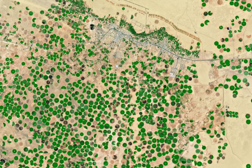
GEE is a cloud-based platform, which provides access to multiple repositories of satellite imagery and geospatial datasets allowing quick and accurate analysis and visualization of large datasets available in the cloud. The GEE platform provides an agile tool for data analysis as well as the data catalog. The data catalog consists of different free geospatial data, including satellite imageries (optical and radar), information about climate (temperature, precipitation, etc), relief (digital elevation models), land cover maps, and a variety of socio-economic variables.
Please indicate your interest in participating through this registration form. Details on how to join the event will be shared with registered participants separately.